Fleet Tracking *NEW*Trailer Tracking Fleet Management
|
Fleet Tracking *NEW*Trailer Tracking Fleet Management |

All Browsers/OS Supported more...
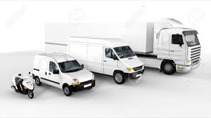
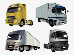
From Bikes to HGVs
CANBUS Fuel & Distance more... |
How does it work?
The
system works by receiving GPS satellite signals using a small in-vehicle
computer connected to a cellular modem. The GPS system is highly accurate,
typically within a few meters. The position is updated every second and sent immediately
on request to our servers or at preset rates. Logging into the web service
allows vehicle positions to be seen on Street Level Mapping. FleetTrack can be accessed via any browser (Internet Eplorer, Google Chrome Firfox ect.) No matter what computer device is being used. PCs, Tablets, Phones, Windows, Android, iOS. All that is required is a broadband or 3G/4G connection to the Web.
Main System Features Timed Reporting. Historic Replays Alarms If a Curfew is broken, A
Maximum Speed exceeded, A period of Excessive Idling occurs etc. Reports | 
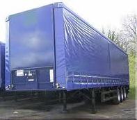
Trailer Tracking more...
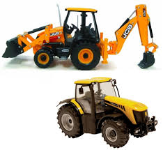
Plant & Tractors |